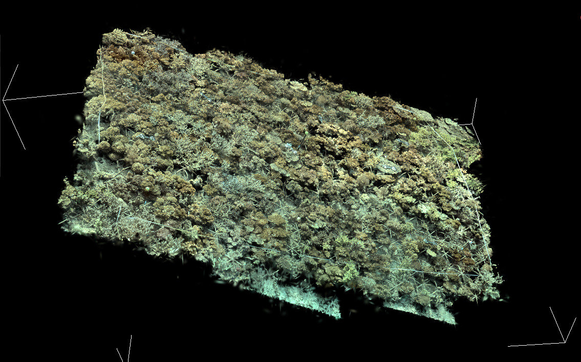
Spatial AI for challenging real world settings

The challenge

  • High-stakes decisions in engineering, environmental assessment, insurance and beyond still rely on expensive field surveys.
  • Manual surveys are slow, labour intensive and prone to human error.
  • Need to find something new? Another costly site visit is needed.
The solution

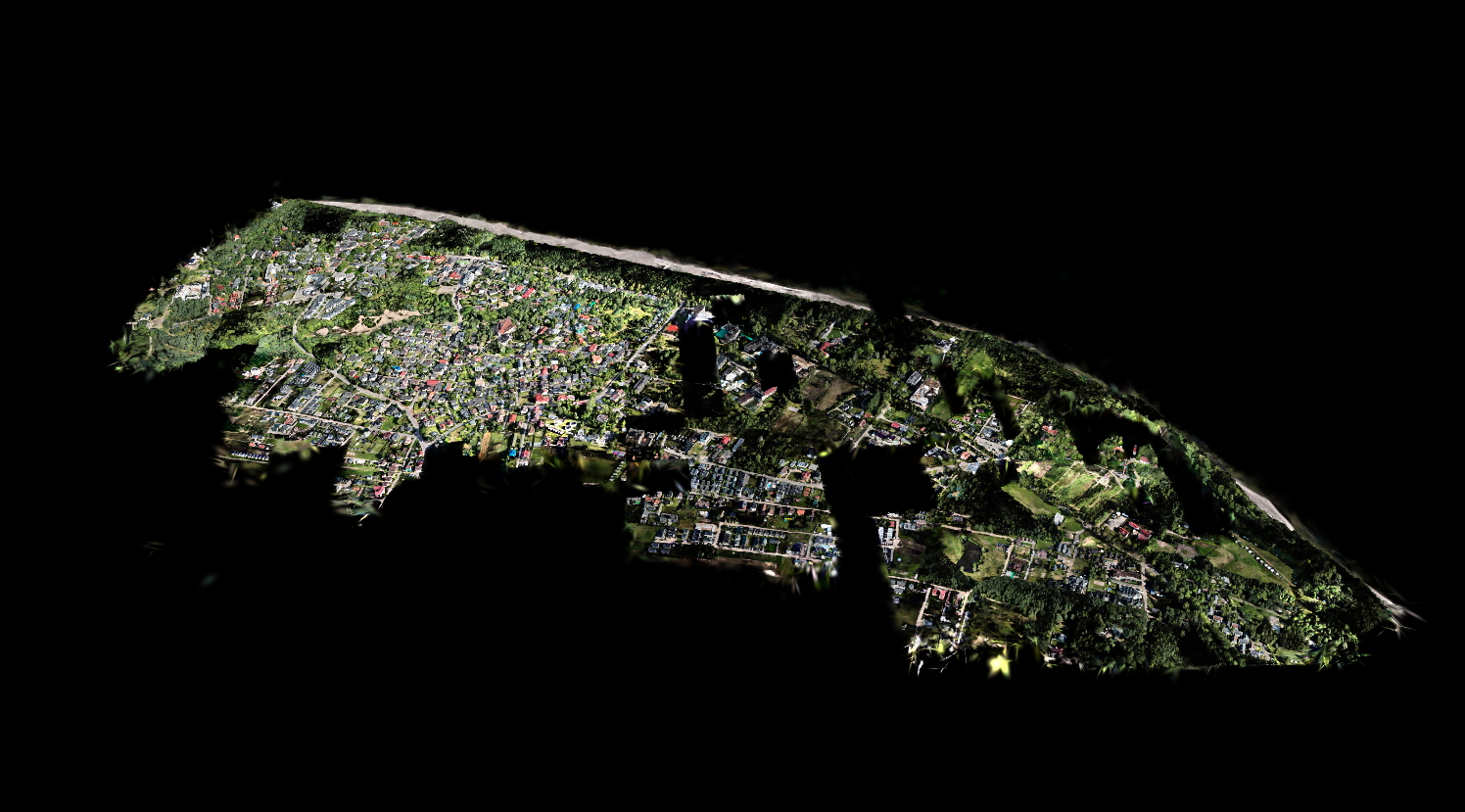
  • Drones can image large sites in minutes; autonomous vehicles can reach places people cannot.
  • Spatial intelligence turns survey data into searchable, actionable 3D understanding.
  • Akropora's solutions are tested in complex real-world settings from cities to coral reefs.

Demos

Natural language

Search across your data in plain English

We make your data searchable, be it 2D imagery or 3D models. Use this feature to find anything and everything, no matter how large or complex your dataset is. Reverse image and audio search concepts as needed.

Rapid classifier development

Supercharge AI by injecting your expertise

Many challenges are too hard for off-the-shelf AI. Our model works with you to get your expert labels on a tiny subset of data in minutes, then instantly updates itself into a highly accurate detector.

Supported by